IMD issues multi-state alert as fresh western disturbance to bring snow, hailstorms, rain and gusty winds from 26 January
The IMD’s latest bulletin warns a new western disturbance will trigger a spell of unsettled weather from 26 January 2026, including heavy snow/rain in parts of the western Himalayas, hailstorms and thunderstorms in several regions, and gusty winds. Dense fog and isolated cold-wave conditions were also flagged through 26 January.
A new spell of winter disruption from 26 January 2026
The India Meteorological Department (IMD) has issued a multi-state alert as a fresh western disturbance is expected to affect north, northwest and central India from Sunday, 26 January 2026. The forecast points to a period of rain and snowfall, hailstorms, thunderstorms, gusty winds and fluctuating temperatures across multiple regions.
Western disturbances are winter systems that typically bring precipitation to the Himalayan belt and adjoining plains. In this case, IMD’s bulletin indicates the impact will extend beyond mountains, with rainfall/thunderstorm activity expected across several states, increasing the likelihood of transport and daily-life disruption in both hills and plains.
Peak risk window: 27–28 January, with heavy snow and hailstorms
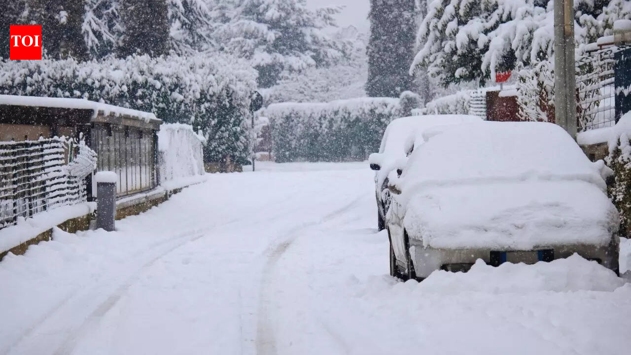
The most intense phase is forecast for Monday–Tuesday, 27 and 28 January 2026. IMD warns of heavy rainfall or snowfall at isolated places over Himachal Pradesh and Jammu & Kashmir–Ladakh. Thunderstorms with hail are also likely at isolated places across parts of the western Himalayas, along with gusty winds that could add to localised damage and exposure risk.
In the plains, the bulletin flags thunderstorms accompanied by lightning and gusty winds over areas including Haryana, Chandigarh, Delhi, Punjab, and parts of Uttar Pradesh. Such conditions can increase short-term injury risk from flying debris, impact power supply, and complicate road movement, especially where visibility is already compromised.
Fog and cold-wave conditions through 26 January
Alongside the storm outlook, the IMD forecast notes dense to very dense fog in pockets over Punjab, Haryana and Chandigarh on 25 and 26 January, and dense fog over other regions including parts of Himachal Pradesh and sub-Himalayan West Bengal and Sikkim. Isolated cold-wave conditions are also expected over Himachal Pradesh, Punjab, Haryana-Chandigarh and Rajasthan on 25–26 January.
Health and safety implications: travel, exposure and public advisories
IMD’s advisory context highlights likely disruption to road connectivity in mountain areas due to heavy snowfall and hailstorms, and possible delays for flights, trains and highway traffic in fog-affected belts. From a public-health standpoint, the combination of cold-wave exposure, reduced visibility, and storm activity tends to raise risks for vulnerable groups—especially the elderly, infants, and people with respiratory or cardiovascular conditions.
As conditions evolve, local authorities typically issue location-specific guidance on travel timing, school schedules, and emergency response readiness. The IMD bulletin indicates the system should begin weakening after 28 January, but stormy conditions may persist even as intensity eases.