IMD flags fresh western disturbance: heavy snow, hail and widespread rain likely from 26 January
A new western disturbance is expected to trigger an active weather spell across parts of north, northwest and central India from 26 January, the IMD has said. Forecasts indicate heavy snowfall/rain at isolated places in the western Himalayan region, thunderstorms with hail and gusty winds in pockets, and persistent fog in some northern plains through 26 January.
New wet spell forecast across Himalayas and adjoining plains
The India Meteorological Department (IMD) has warned that a fresh western disturbance is likely to bring a multi-day spell of unsettled weather from 26 January, affecting large parts of north, northwest and central India. The system is expected to trigger rainfall, snowfall, hailstorms, thunderstorms and gusty winds, with the most intense phase forecast around 27–28 January.
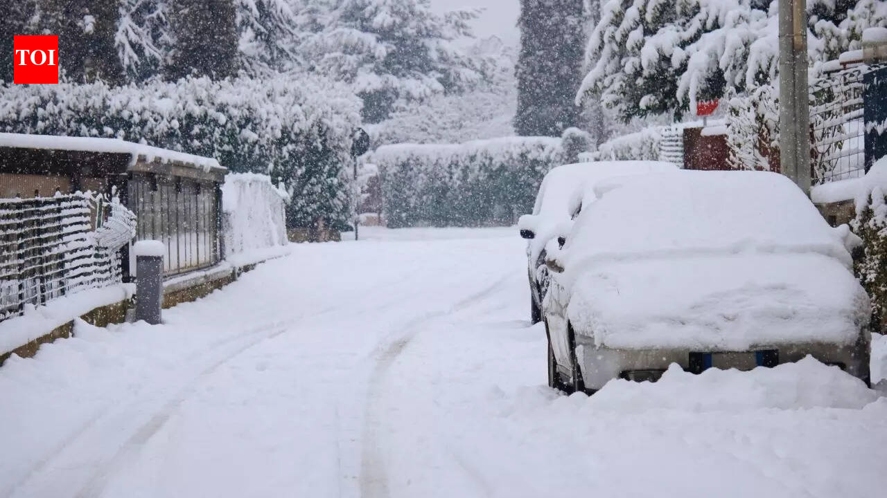
According to the outlook, the western Himalayan region could see heavy rain or snowfall at isolated places, which may lead to fresh accumulation in higher reaches and potential disruption to road connectivity in vulnerable mountain stretches. The IMD also indicated that the influence of the system could extend into adjoining plains, where thunderstorms and strong winds can create localised travel delays.
Fog and cold wave pockets before conditions shift
Ahead of the disturbance’s peak activity, dense to very dense fog conditions were expected to persist in pockets across parts of the northern belt through 26 January. Cold wave conditions were also indicated at isolated places in a few regions, before the incoming system changes the pattern.
Marine advisory and travel impact
The IMD bulletin also highlighted rough marine conditions in specific areas, with squally winds and higher gusts, and cautioned fishermen against venturing into affected waters during the advisory window.
- Hill travellers should watch for closures, snowfall-related slowdowns, and sudden changes in visibility.
- In the plains, thunderstorms, hail and gusty winds can cause short but sharp disruptions to road and rail movement.
- Fog in pockets can still affect early-morning visibility and transport schedules on 26 January.
With Republic Day travel expected in many states, authorities and travellers are likely to track local advisories closely as the western disturbance approaches and conditions evolve day by day.