Army plans major drone expansion, tightens monitoring belt along China and Pakistan borders
The Indian Army has assumed responsibility for monitoring aerial activity in a 35-km belt along the borders with China and Pakistan and up to three kilometres in altitude. It is also working to significantly scale up its drone fleet and set up command-and-control centres to detect and neutralise hostile platforms.
The Indian Army is strengthening its counter-drone posture along the country’s sensitive frontiers by taking charge of monitoring flying objects within 35 kilometres of the borders with China and Pakistan, and up to an altitude of three kilometres, as concerns rise about cross-border drone intrusions and surveillance.
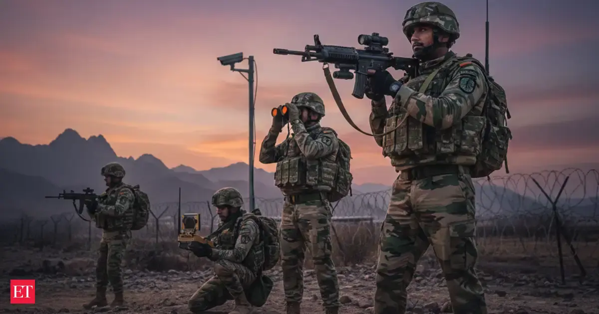
According to a report carried by The Economic Times, the move formalises the Army’s role in most drone and anti-drone activity in this envelope, while new air command-and-control centres are being established along the northern and western borders to track incursions, coordinate launches of Indian drones and enable rapid neutralisation of hostile platforms.
The Army is also pushing a sharp expansion of its drone capacity. The plan outlined in the report includes building the ability to operate around 10,000 drones in the western theatre and more than 20,000 drones along the Line of Actual Control, reflecting the growing importance of unmanned systems in border management and battlefield awareness.
The drive comes amid heightened attention to the use of drones by adversaries. The report notes that Pakistan’s use of armed drones in a recent conflict episode has reinforced the need for layered surveillance and faster response options, while China’s extensive use of drones along the LAC has also shaped India’s operational planning.
Beyond surveillance, the Army’s broader modernisation effort also emphasises closer coordination between area corps commanders and local Indian Air Force counterparts, aiming to integrate detection, decision-making and engagement under a clearer command chain when suspicious aerial objects appear near the border belt.
Defence analysts say the operational logic is straightforward: drones are cheaper, harder to spot than traditional aircraft, and can be used for reconnaissance, delivery of contraband, or precision strikes. A dedicated monitoring corridor helps compress response time, improves attribution, and reduces the risk of a small drone causing outsized damage.
If implemented at scale, the combination of expanded drone fleets, command centres and tighter monitoring rules could reshape how India manages border airspace at low altitudes—especially during periods of heightened tension—while also increasing day-to-day surveillance capacity in difficult terrain and remote stretches.