IMD flags fresh western disturbance from Jan 26; snow, hail and thunderstorms likely across several states
A new western disturbance is set to bring an active spell of weather across north, northwest and central India from January 26, with the IMD warning of rain, snowfall, hailstorms, thunderstorms and gusty winds. The agency also flagged dense fog and cold-wave conditions in pockets over the next two days, urging travellers and local authorities to plan for disruptions.
A fresh western disturbance is expected to push a wide band of unsettled weather across parts of north, northwest and central India starting Monday, January 26, 2026. The India Meteorological Department (IMD) has flagged a mix of rain, snowfall, hailstorms, thunderstorms, gusty winds and sharp temperature swings, signalling what could be one of the more active late-January spells for the region.
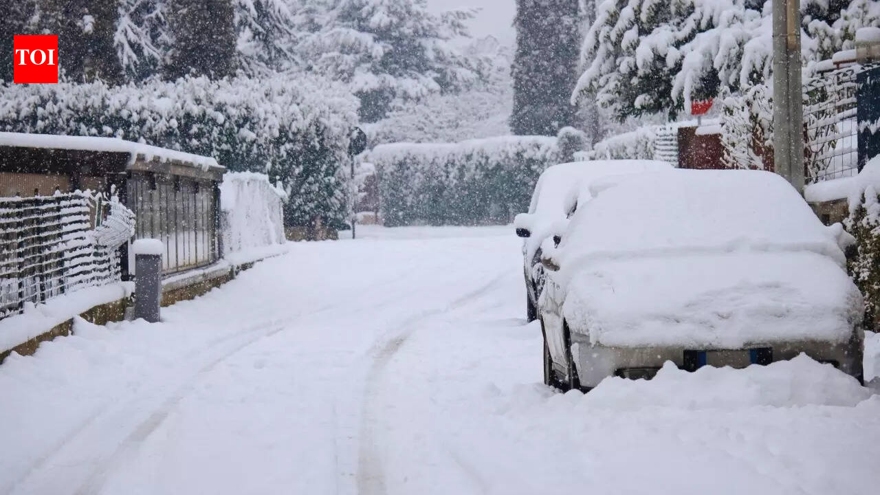
According to the IMD’s forecast bulletin cited in the report, conditions are likely to intensify through January 27–28, with the heaviest activity expected over the western Himalayan region and adjoining plains. The system’s influence is also projected to extend deeper into the plains, with isolated thunderstorms and strong surface winds possible in multiple states.
Where the impact may be strongest
The forecast points to widespread precipitation over Uttarakhand, Jammu & Kashmir and Ladakh on January 27, with fairly widespread activity over Himachal Pradesh, Punjab, Haryana-Chandigarh-Delhi and west Uttar Pradesh. By January 28, the intensity is expected to gradually ease, but stormy conditions may persist in pockets, including a risk of hailstorms at isolated locations.
The report notes that thunderstorms accompanied by lightning and gusty winds of roughly 30–40 kmph may occur at isolated places over east Uttar Pradesh, Haryana-Chandigarh-Delhi and Punjab. In parts of west Uttar Pradesh, gusts could strengthen further on January 28, while central India may also see isolated thunderstorm activity.
Fog, cold-wave conditions and travel disruption risk
Alongside the wet spell, the forecast highlights dense to very dense fog in pockets over Punjab, Haryana and Chandigarh on January 25–26, with dense fog also likely over Himachal Pradesh and the sub-Himalayan belt of West Bengal and Sikkim. Cold-wave conditions were also indicated for isolated pockets over Himachal Pradesh, Punjab, Haryana-Chandigarh and Rajasthan during the same period.
For travellers, the main risk is disruption across mountain roads due to snowfall and hail, while the plains could see delays from gusty winds, thunderstorms and lingering fog affecting flights, trains and highway traffic. Authorities and commuters are advised to factor in slower travel, possible diversions, and rapidly changing local conditions.
- Timing: Active spell forecast from Jan 26; peak intensity expected around Jan 27–28
- Hazards: Snowfall (hills), hailstorms (isolated pockets), thunderstorms with lightning and strong surface winds
- Secondary risks: Dense fog and cold-wave conditions in parts of north India, with potential transport delays